


From confirming land boundaries to determining the lay of the land; from the top of the bank to the bottom of the stream. Our qualified team of technology-powered surveyors can help.
-
What is it?
Land surveying is the scientific technique of determining positions of points on land, and the distances and angles between them. They are usually used to establish maps and boundaries for ownership, or locations for structural components of a building.
-
What does this look like for me?
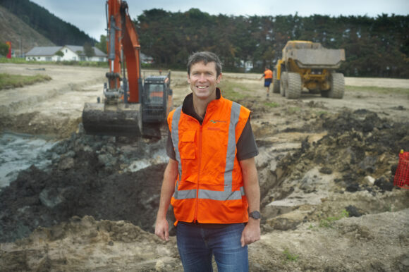
Maybe you need a boundary redefined on a property you own, or you might be looking to subdivide. Perhaps you need to better understand the terrain of the land you’re looking at building on. Our qualified team of technology-powered surveyors have the technical expertise to carry out land surveying jobs, big or small.
We service Wellington, Kapiti, Horowhenua, Manawatu and beyond.
Topographical and site surveys
- Detailed contour and level surveys for subdivisions, infrastructure projects and building sites.
Subdivision and boundary work
- Scheme plans and legal survey
- Data preparation for title applications (223/224 certificates)
Construction and Engineering Surveys
- Set-out surveys for roads, stormwater, sewer and other infrastructure
- As-Built survey’s for verification of completed works that align with design and consent conditions
Specialist Surveying
- Easement and covenant surveys
- Surveys tied to planning processes, such as aright of way alignments or platform identification
- Integration with resource consent applications and land development projects.
Land Matters have been involved with key industrial construction projects in Levin, Paraparaumu, Waikanae, Porirua and as far as Dunedin. Talk to us about your requirements no matter where you are located in New Zealand.


Related projects


Delivering innovative property, community
and environmental solutions.
Contact us