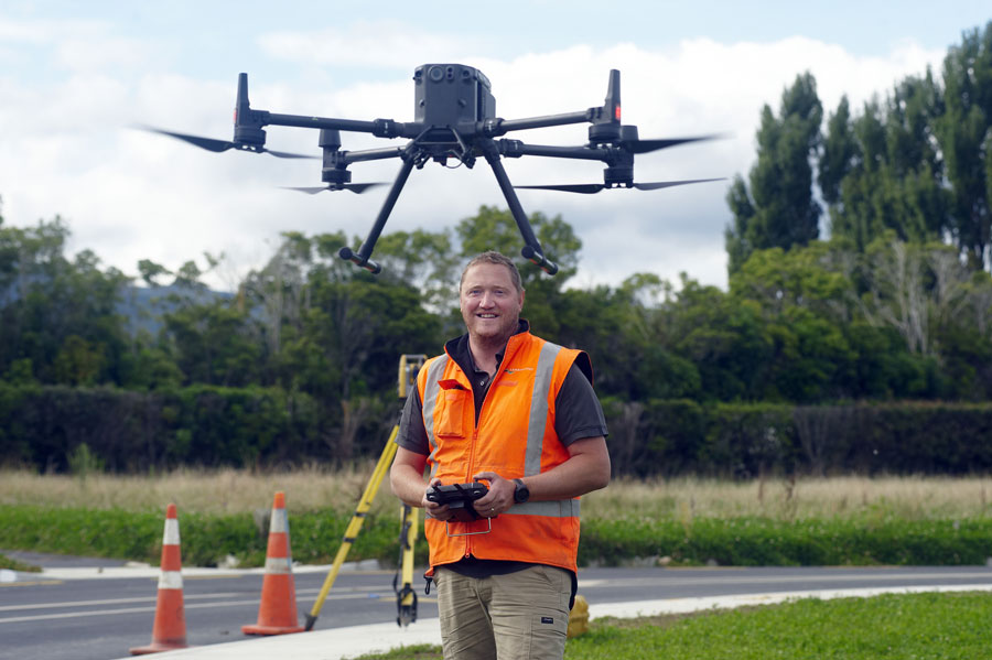
Thanks to our investment in technology, our qualified team of surveyors is able to compile 3D imagery of land parcels from the air, allowing project modelling to shine
-
What is it?
Drone surveys are land surveys – hundreds of photos taken by optical camera – done via an airborne drone, which are stitched together to create a 3D image of a patch of land.
-
What does this look like for me?
With our investment in technology, drone surveys shave hours of labour off the time it takes to carry out manual surveying. This means your project surveying costs are kept down, while also being able to visualise the potential of your land.
Related projects
Delivering innovative property, community
and environmental solutions.
Contact us


